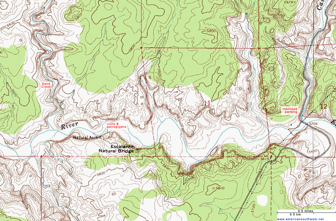
Topographic maps help cartographers reveal areas of elevation and the terrain of the land on a two-dimensional surface. This process is done through the use of contour lines that connect points that are equal in elevation. The topographic map shown above illustrates the elevation and terrain of the Escalante River trail, Grand Staircase at the Escalante National Monument in Utah. As you can see from the map the trail is along the Escalante River and there is only a slight 100 ft change in elevation along the trail. This type of map can serve a great purpose for hikers, engineers, and others who rely on the knowledge of elevation levels to complete tasks.
No comments:
Post a Comment